
For Agents
2 min read
Check flood risks before you buy
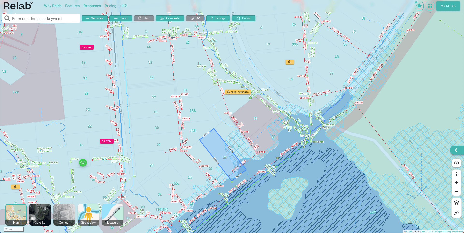
Check environmental constraints all in one view
Identify site hazards early
Save time on site analysis
No more switching between council GIS, council sites, satellite maps and listing sites. Complete your site scanning in one platform.
Reduce risk
View flood zones alongside other development criteria. Identify potential issues before purchase.
Make better decisions
Evaluate multiple development criteria simultaneously. Don't miss out on your next site.
Everything you need for site analysis
Comprehensive Coverage
Access flood zone data across Auckland, Christchurch, Waikato & Queenstown.Integrated Analysis
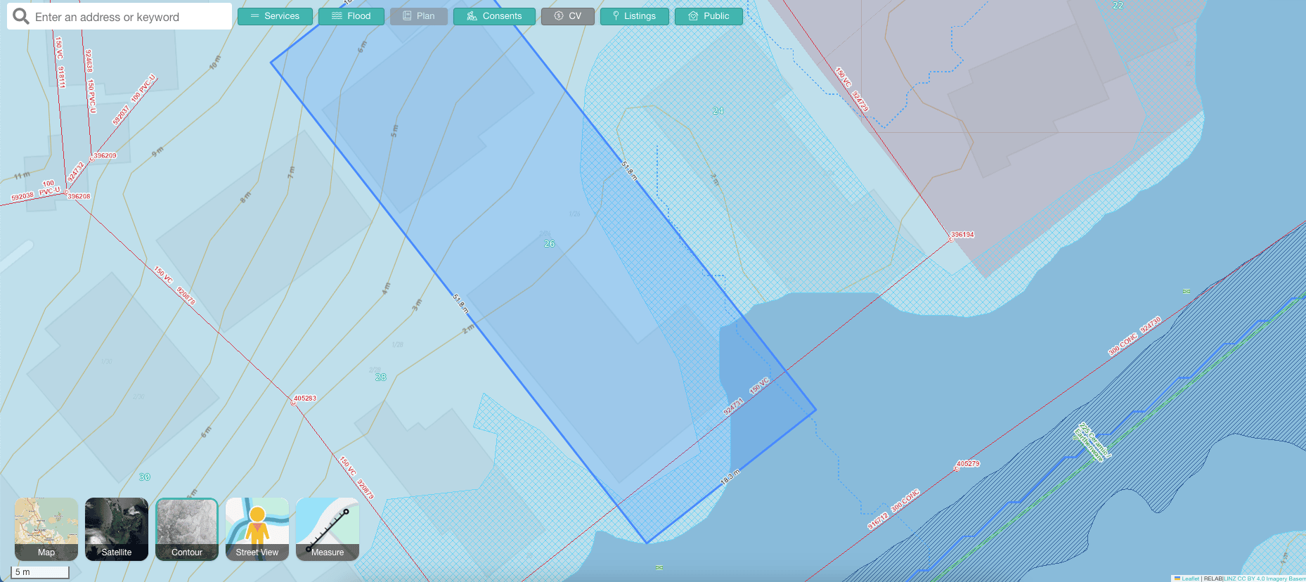
View contour mapping, zoning, and infrastructure constraints in one interface.Easy to Use
Intuitive site scanning tools and clear visualisation of all constraints.Trusted by leading developers
Frequently asked questions
- Which regions include flooding hazard data?
- Currently available in Auckland, Christchurch, Waikato & Queenstown
- What support is provided?
- Full training and ongoing support included
- Can I export the data?
- Yes, export capabilities available for reports and analysis
Ready to transform your property search?
Join leading developers who are already using Relab to find their next development opportunity.